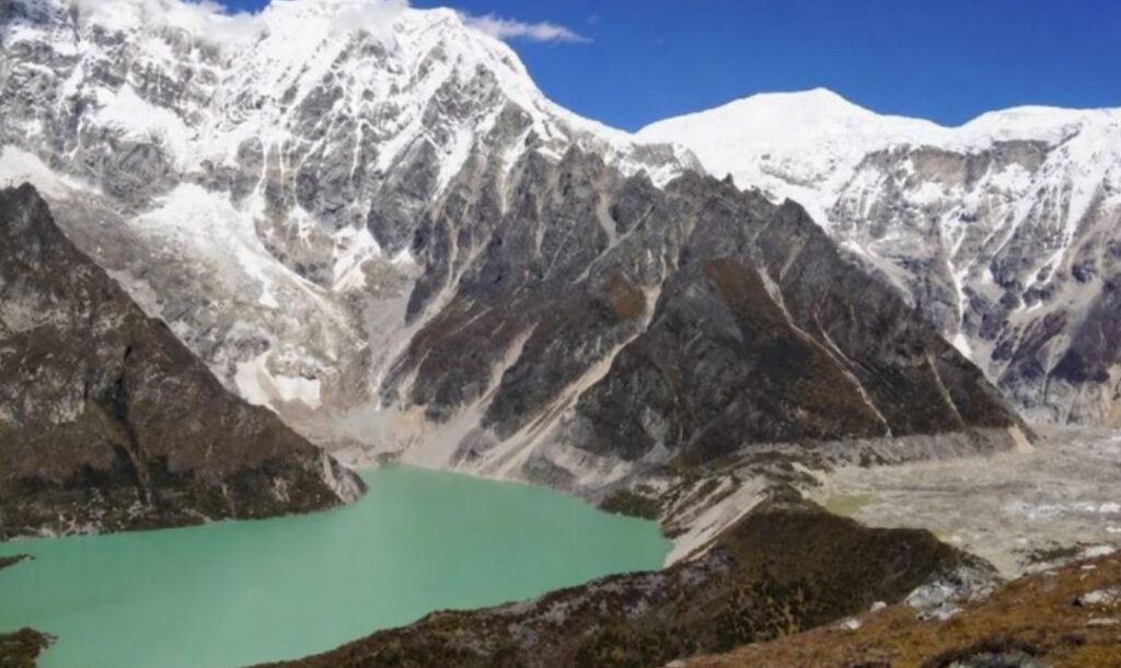
Bhutan has identified 17 potentially dangerous glacial lakes among the 620 recorded in its latest inventory, raising concerns about possible glacial lake outburst floods (GLOFs) and their impact on downstream communities. According to the National Centre for Hydrology and Meteorology (NCHM), nine of these lakes are located in the Pho Chhu sub-basin, three in the Chamkhar Chhu basin, two in the Mo Chhu basin and three in other areas. The centre clarified that their identification for priority monitoring does not mean they are all at immediate risk of bursting. Satellite imagery and field assessments are being used to track changes, although limited human resources remain a challenge. NCHM currently monitors three benchmark glaciers annually, while glacial lake assessments depend on available specialists and priorities.
The growing concern is reflected in increasing exposure along river systems, where settlements, roads, bridges and hydropower infrastructure face potential flooding. NCHM estimates that more than 11,000 people, 2,500 buildings, 250 kilometres of roads and 400 bridges could be exposed to GLOF inundation. Bhutan has also recorded a net loss of 27 glaciers since 2018, with glacier area declining by 9.16 percent. Meanwhile, glacial lake numbers increased from 567 in 2021 to 620 in 2026, while their combined area grew by 5.7 percent. The centre has called for continued monitoring, stronger early warning systems and better preparedness among downstream communities.