
Agency: By Madhurima Sarkar-Swaisgood, Prangya Paramita Gupta, Shashwat Avi, Consultant & Sanjay Srivastava
The Himalayan arc from Bhutan through Nepal and India into Pakistan has always followed the rhythm of the monsoon. In 2025, that rhythm became deadly. Rain that sustains agriculture and rivers turned destructive, testing the capacity of mountain systems built on fragile terrain and limited redundancy.
Unusually heavy rainfall and a glacial lake outburst flood inundated Punjab province and Gilgit-Baltistan in Pakistan in mid-September 2025. Thousands of lives were lost and millions of hectares of cropland destroyed, with estimated losses reaching forty billion dollars. Between June and October, floods and landslides in Himachal Pradesh and Uttarakhand swept through valleys, taking with them bridges, homes, and hydropower plants. Entire districts lost power as key transformers and dams collapsed.
As the season advanced, Nepal and Bhutan were next. Weeks of continuous rain caused floods and landslides in places that had never known such hazards. Power lines, bridges, health facilities, and schools were damaged, cutting off remote areas and slowing relief access.
Bhutan’s energy crisis
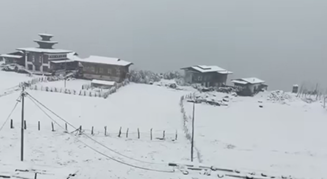
Bhutan’s hydropower network, which supplies electricity domestically and to neighbouring regions, shut down after continuous rain and flash floods on 4–5 October 2025. Five plants, Tala, Suchhu, Dagachhu, Punatsangchhu-II, and Chhukha, were forced offline. A low-pressure system drawing moisture from the Bay of Bengal brought intense rainfall that triggered landslides and river surges in Samtse, Chhukha, Haa, Paro, and Thimphu. When the Wangchhu River overflowed after a dam-gate malfunction at Tala, power supply faltered nationwide. The outage spread to transport, communications, health, and education systems.
The IPCC Sixth Assessment Report projects heavier precipitation across the Himalayas through this century. An ESCAP supported climate-projection study from Bhutan’s National Center for Hydrology and Meteorology confirms this trend, indicating that annual and summer monsoon rainfall will intensify, especially in Samtse, Chhukha, Haa, Dagana, and Wangdue Phodrang (Figure 1). Nearly sixty per cent of existing and planned hydropower capacity lies in these flood-prone districts. Under worst-case conditions, rainfall may increase by up to one hundred millimetres during monsoon months (Figure 3). Using GIRI flood-hazard models, ESCAP found that these plants face both rare, high-intensity floods and frequent, severe floods under the SSP5 (2061–2100) climate scenario.